ملف:Golan heights border.jpg
حجم هذه المعاينة: 800 × 600 بكسل. البعد الآخر: 2٬304 × 1٬728 بكسل.
الملف الأصلي (2٬304 × 1٬728 بكسل حجم الملف: 625 كيلوبايت، نوع MIME: image/jpeg)
وصف قصير
| Description |
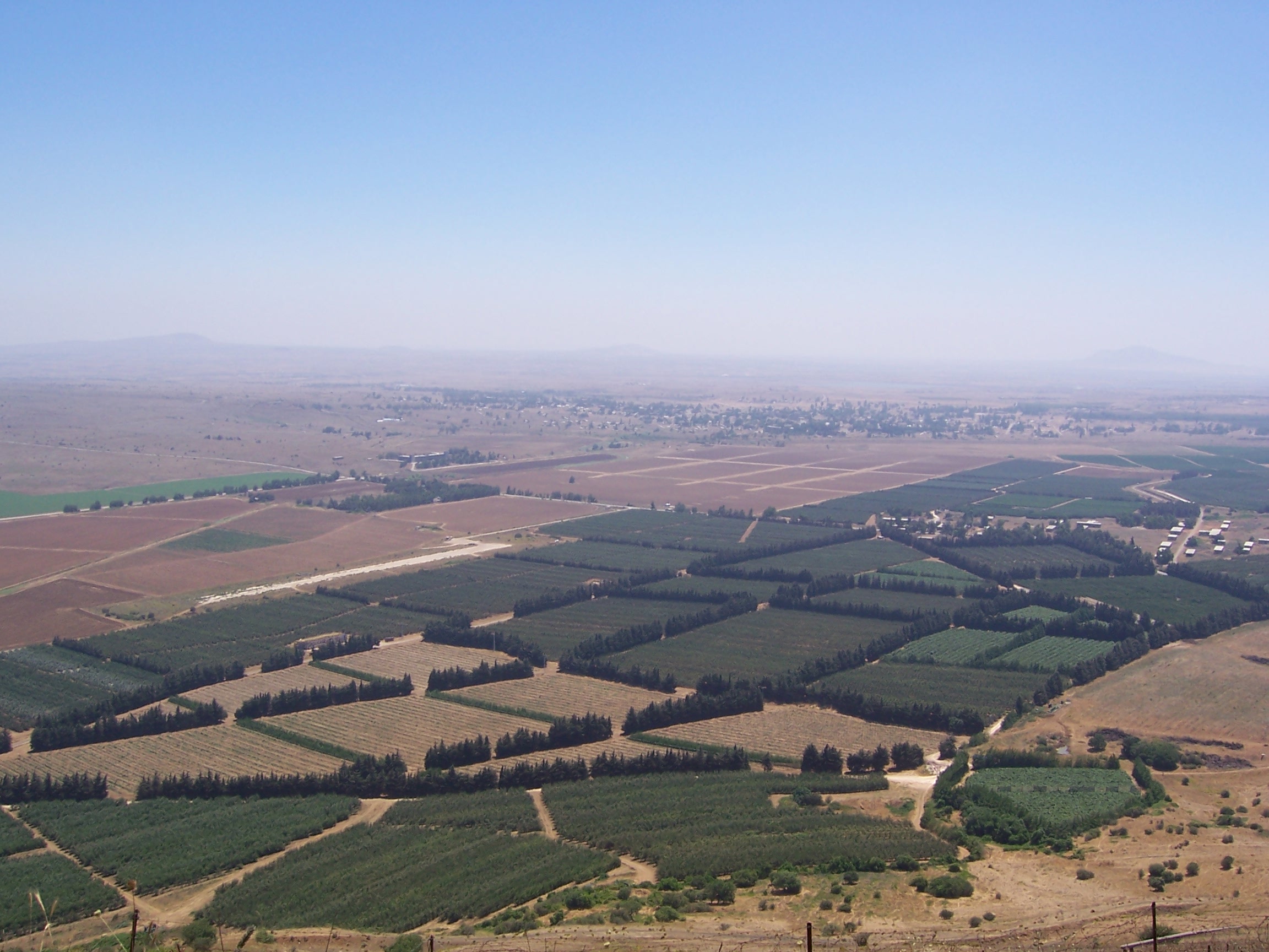
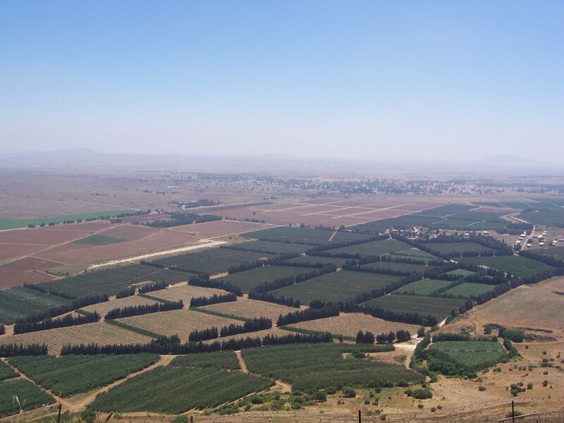
This article incorporates text from Citizendium which been licensed under the GNU Free Documentation License. English: The Golan Heights' border with Syria proper. The Golan Heights end (and Syria begins) where the farmland ends. In the background is the deserted city of Quneitra in Syria. The white buildings on the right are mostly UN buildings.
قالب:Country data Сирийско-израильская граница в Голанских высотах Français : Vue sur la frontière syro-israélienne à la lisière des hauteurs du Golan. On distingue au loin la ville syrienne de Quneitra désertée. Les bâtiments de couleur claire à droite appartiennent pour la plupart à l'ONU. |
| Date | قالب:Taken in |
| Source | قالب:Self-photographed (قالب:Original text) |
| Author | Masterpjz9 at en.wikipedia |
ترخيص
⧼wm-license-original-upload-log⧽
- 2006-04-08 03:29 Masterpjz9 2304×1728× (639949 bytes) This is a photo of the Israeli Golan Heights border with Syria. The Golan Heights end (and Syria begins) where the farmland ends. In the background there is an deserted city of Syria, and the white buildings in the right are mostly UN buildings. I took t
تاريخ الملف
اضغط على زمن/تاريخ لرؤية الملف كما بدا في هذا الزمن.
| زمن/تاريخ | صورة مصغرة | الأبعاد | مستخدم | تعليق | |
|---|---|---|---|---|---|
| حالي | ★ مراجعة معتمدة 21:07، 20 أكتوبر 2023 | | 2٬304 × 1٬728 (625 كيلوبايت) | Pastakhov (نقاش | مساهمات) | Upload https://upload.wikimedia.org/wikipedia/commons/a/ab/Golan_heights_border.jpg |
لا يمكنك استبدال هذا الملف.
وصلات
لا يوجد صفحات تصل لهذه الصورة.
